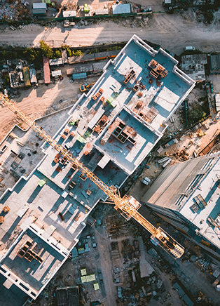
We employ various platforms to conduct survey and inspection work on land, buildings or other infrastructure. Custom camera and sensor payloads configured to suit the customer applications including LIDAR, multispectral imaging and subsurface land radar. We can even use sonar for water penetration subsea surveys. Data is then processed using the latest industry standard software to present your data.
Currently working on the acquisition of a new aircraft and training to conduct confined space inspections. Expanding our portfolio and offering customised services to reduce the risks and costs to your business.